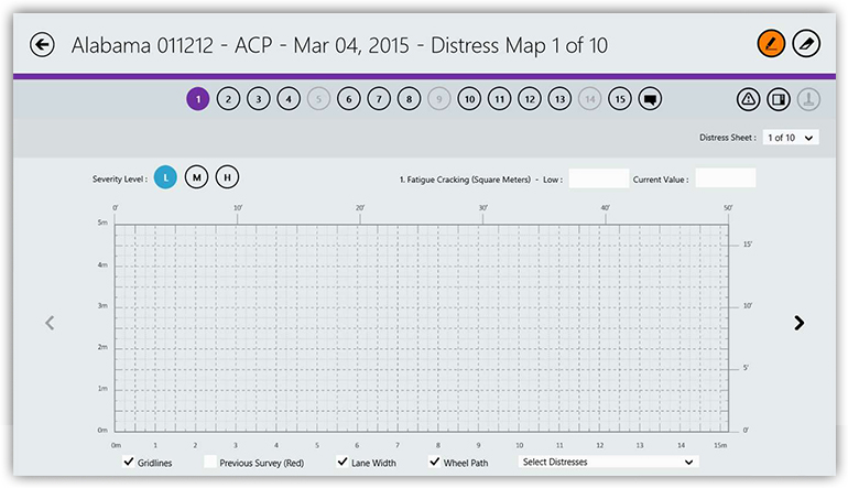
The LTPP Distress Survey App automates the pavement distress survey process so that the accuracy and reliability of the collected data can be improved and enhanced, as compared to the manual process. The LTPP Distress Survey App can collect and maintain all survey-related information including data, maps, images, and videos. This application uses the LTPP Distress Identification Manual as a guide for pavement distress measurement. The application supports manual and semi-automated distress data collection.
The LTPP Distress Survey application is available for a Windows tablet platform.

Following are the technology and application domain areas serviced by iENGINEERING for the LTPP Distress Survey App project:
- Development of Windows Store application (desktop & tablet)
- Drawing distress maps with optional historical data view
- Automatic calculation of distress data
- Video and picture capturing during survey
- Semi-automated distress survey image processing
- Import/export in XML format
- Support

